
Think of the most beautiful town or city you’ve ever seen. It doesn’t matter where you pick, there’s one basic quality that place surely has.
For instance, here are some great places…
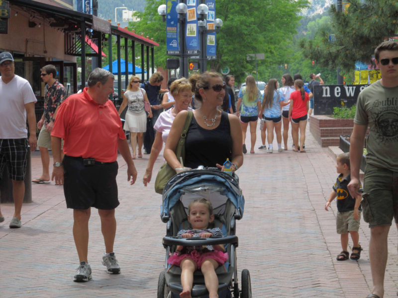
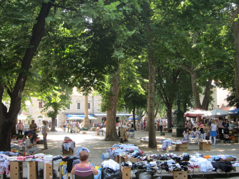
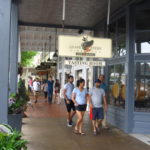
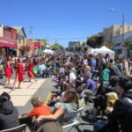
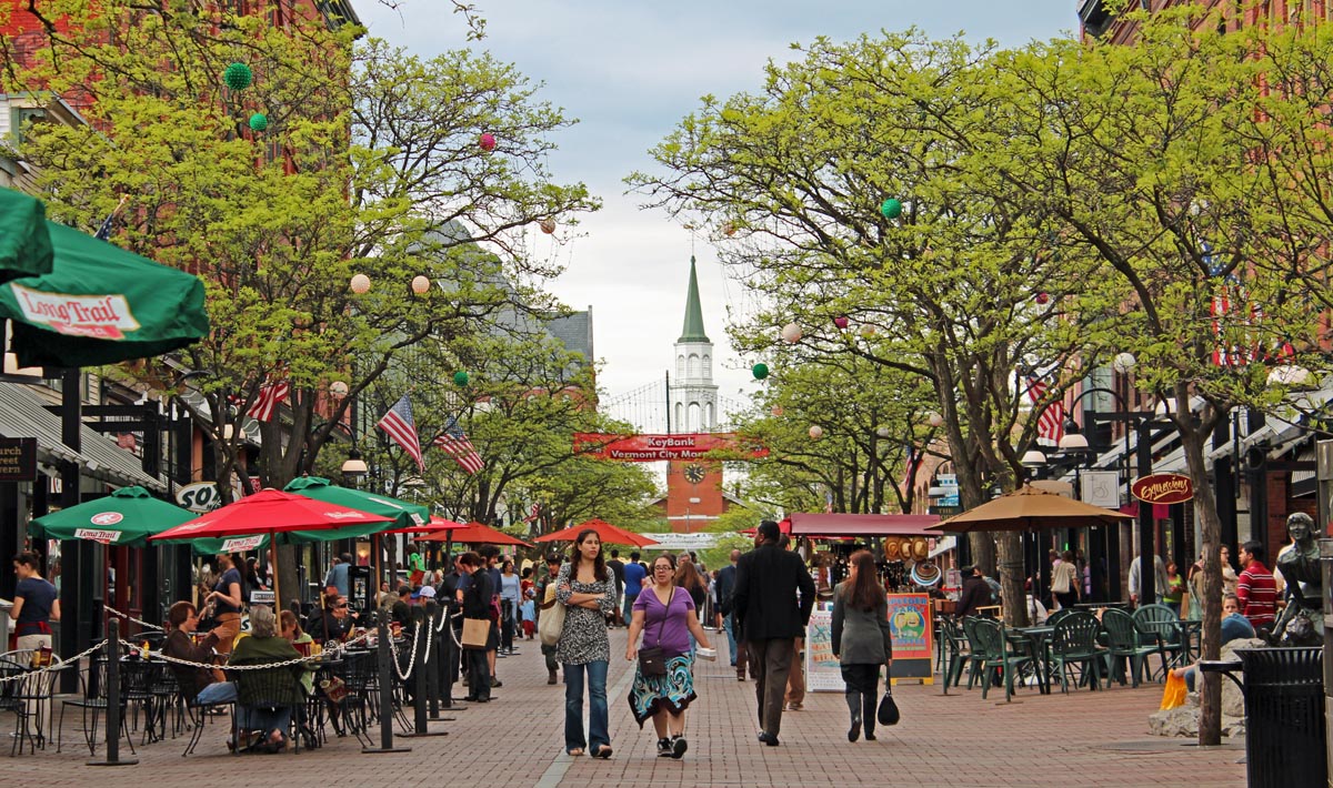
The Pearl Street Mall, Boulder, Colorado
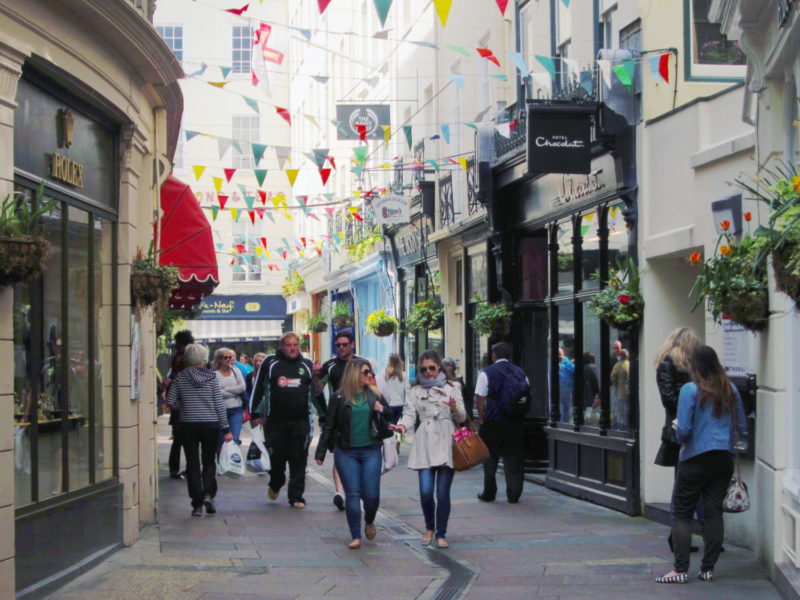
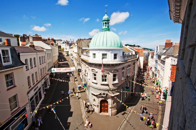
Central St Peter Port, Guernsey, UK
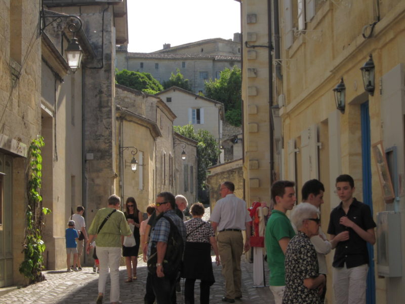
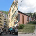
St Emilion, France
There’s one essential quality they have in common: They’re all walkable.
All great places are walkable. But, as we discussed in a previous article, judging walkability involves knowing what destinations we’re walking to and how long it should take to get there. In the article proposed the concept of the 10-Minute Neighborhood: Getting everything we need on a regular basis within a 10-minute walk.
Now we’ll see how close to the 10-minute ideal your or my neighborhood gets. This will reveal where and how your area needs improvement. Perhaps you have a good number of cafes, maybe you need more hardware stores. And now you’ll know where they need to go.
Doing a rough 10-minute review is quite easy. It basically involves drawing on a map a large circle (whose radius represents a 10-minute walk) around every destination you’re including in your review. Choose one type of destination (eg. a post office) at a time. For more information on this method, open the box below.
 1. Plot your destinations on a map
- Find a map of your neighborhood; you may want to print it. I took a screen grab off Google Maps; you can also download a map from Open Street Map.
- Choose one destination type (eg. a grocery store) and mark on the map all the locations of that type of destination.
 2. Calculate the area of a 10-minute walk
- This will be a circle, radiating from each destination. (Note: Ideally, instead of a circle, this shape would be different for every specific location. For a grid street layout the shape would be diamond shaped. But this is a rough study so we’ll stick with a circle.)
- Take the common assumption of a 3 mph (ie. 0.5 miles for a 10 minute walk; a 1 mile diameter) walking speed. Measure out 1 mile on a map of your neighborhood. Google Maps has a good measurement tool.
 3. Plot a 10-minute walk area around each destination
- You can either do this by hand (using a protractor) or, as I did, on an image editing program. For the latter, use a brush tool, choose a size that equals the 10-minute walk area (ie. a circle with a 1-mile width), and set the transparency at 25%, so you can see overlapping circles.
Repeat the whole process for each type of destination, one map per destination.
As an example, let’s do a rough 10-minute survey of the Inner Sunset neighborhood in San Francisco, where I live. Just some of the suggested 10-minute destinations have been chosen.
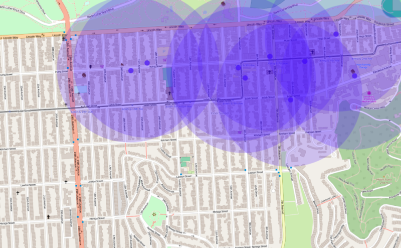
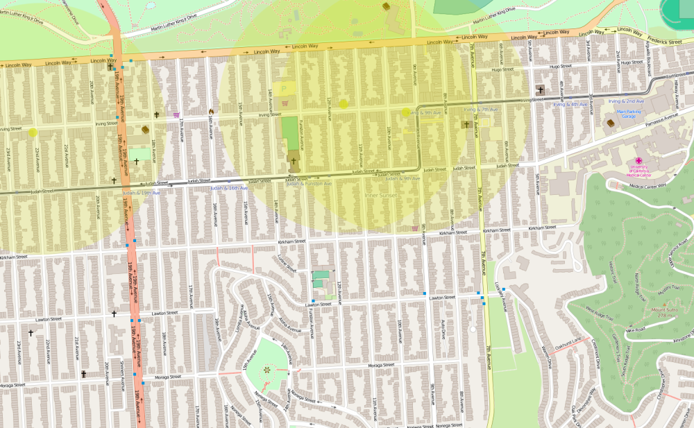
Grocery stores
Estimated coverage: 60%. Not bad, unless you’re one of the people who live up the hill (the bottom center part of the map). More grocery stores up the hill would increase coverage. These new stores could also integrate other destination types, such as pharmacies and post offices, that might be tough to find dedicated spaces for.
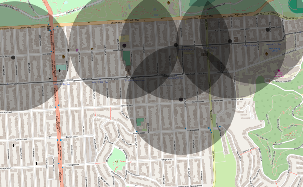
Cafes
Estimated coverage: 50%. Less coverage than the grocery stores. I could imagine people toward the bottom of the map staying home more often.
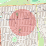
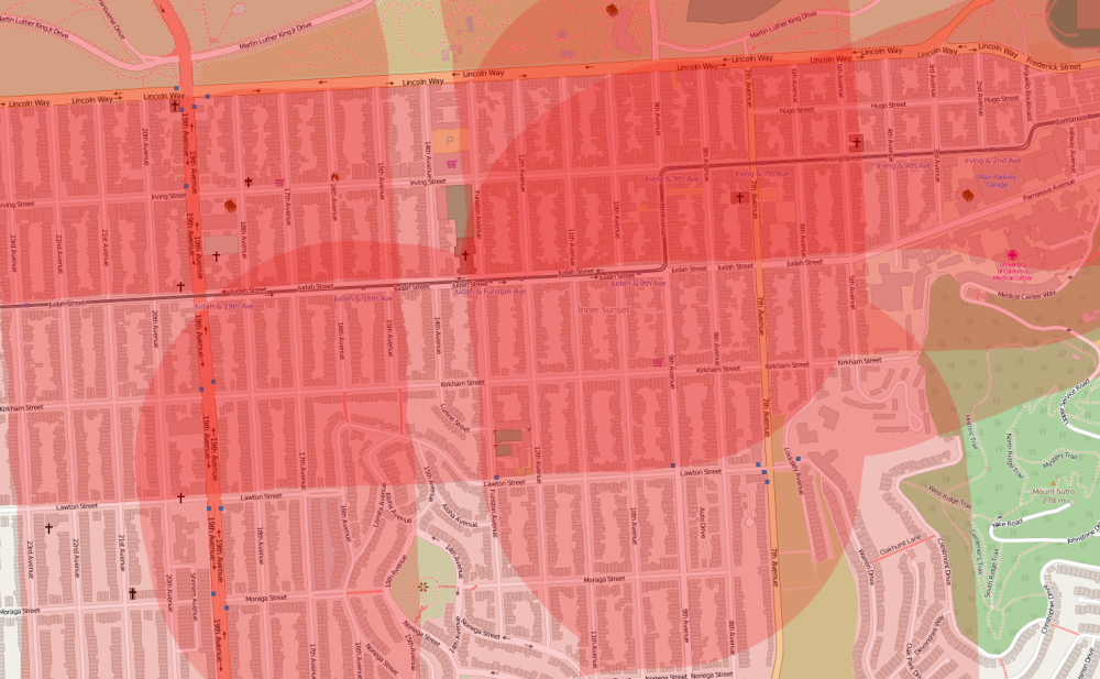
Pharmacies

Estimated coverage: 35%. The “access deserts” (areas further than a 10-minute walk from any given type of destination; thanks to Reed Martin for introducing this term to me) for pharmacies are even larger than for cafes.
Post offices
Estimated coverage: 30%. Perhaps post office functions could be integrated into other destinations, such as grocery stores, to improve coverage.
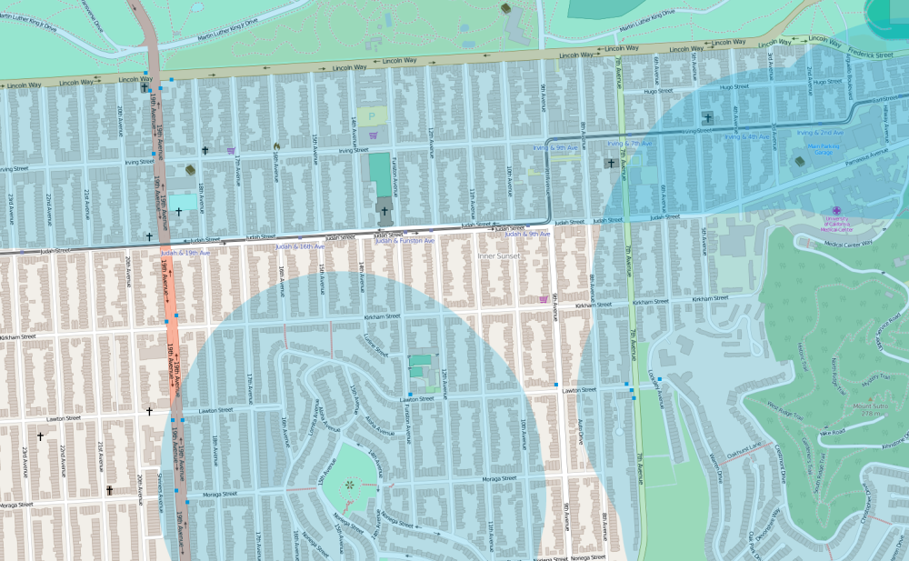
Public transportation
Estimated coverage: Pretty much 100%. Almost everyone in my neighborhood is within a 10-minute walk of public transportation.
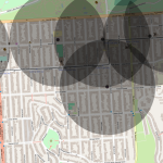
Parks / green space
Estimated coverage: 65%. Most people live within a 10-minute walk of a park / green space. Even more so than with the other maps, the weakness of not being able to account for hills is acute here – the park in the bottom-middle of the map is at the top of a steep hill; the terrain is flat at the top of the map where Golden Gate Park runs east-west.
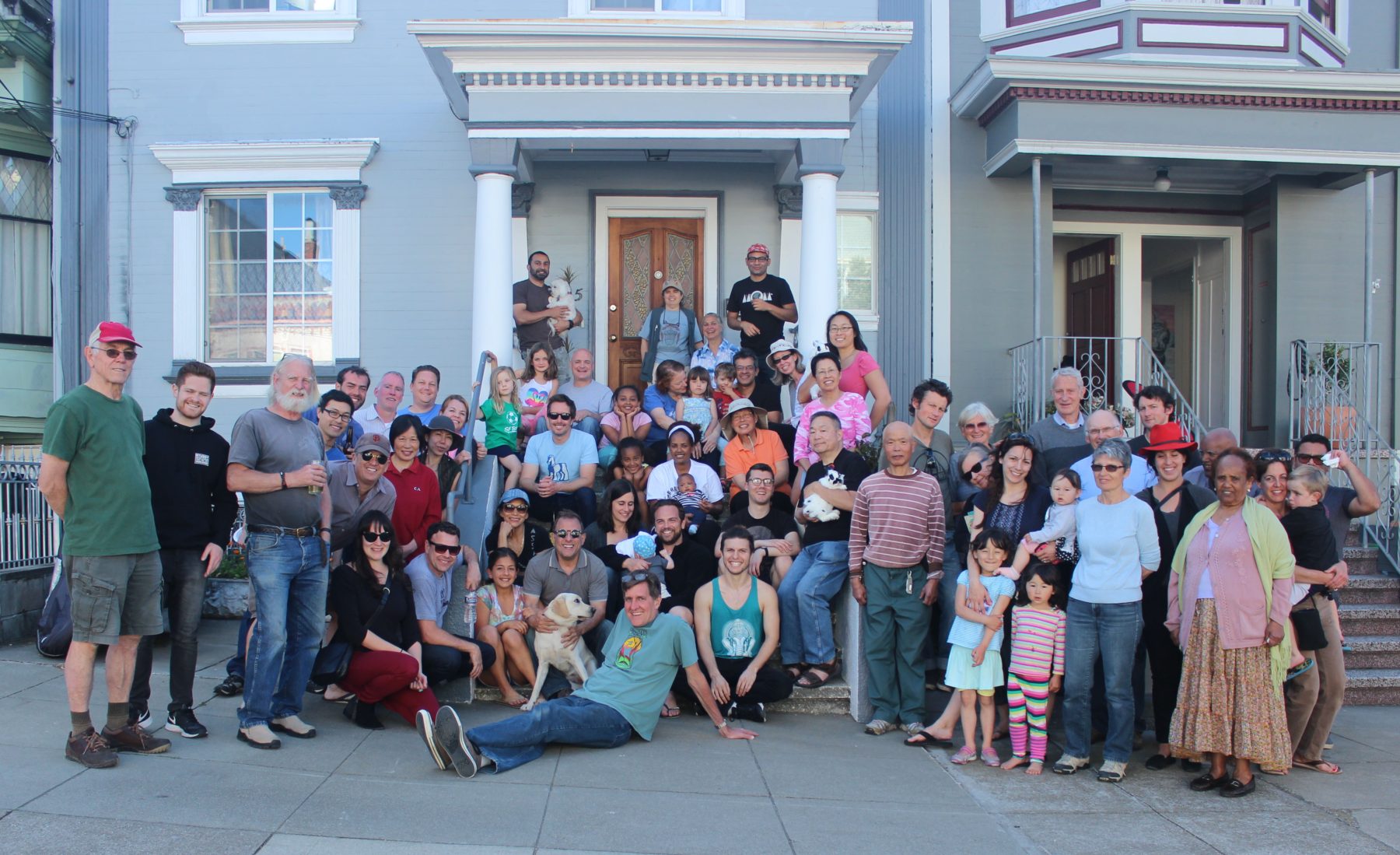
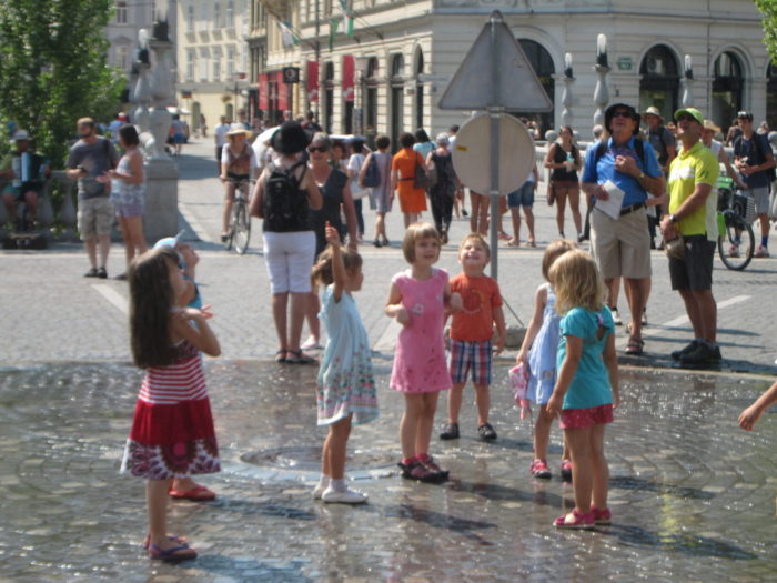
Community center / pedestrian street/mall / car-free gathering space
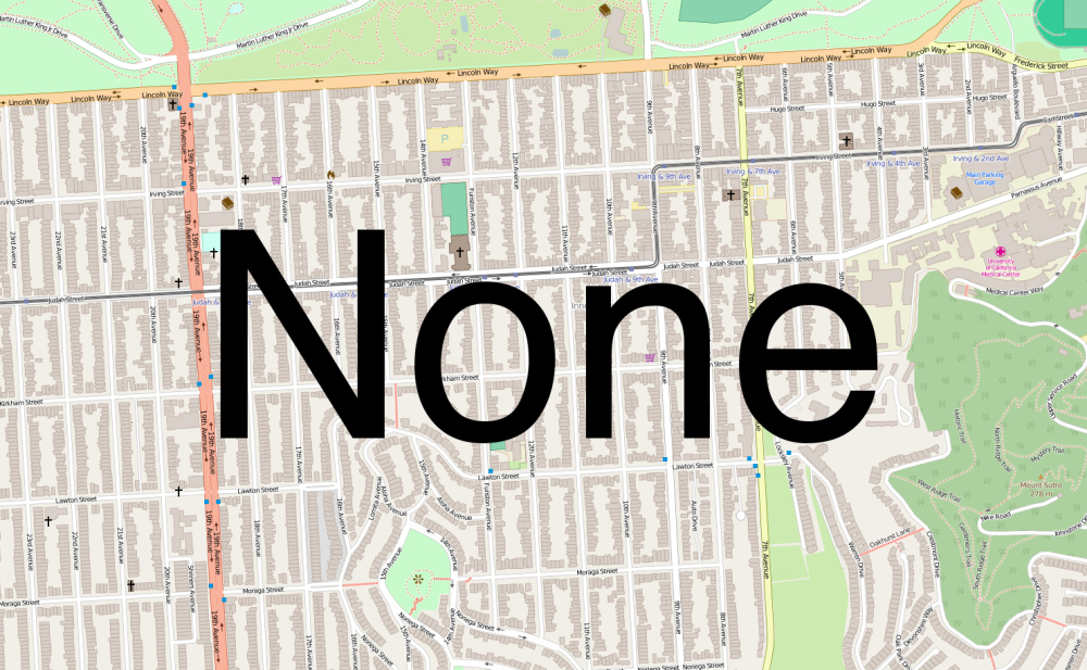
Coverage: 0%. A sad reality of many neighborhoods in San Francisco and the US.
Community centers, pedestrian streets/malls, and car-free gathering spaces are important components of happy and healthy communities. These destinations represent the next frontier for most American neighborhoods…
A great community gathering space. Trebinje, Bosnia.
Perhaps a brainy programmer could create an online 10-Minute Neighborhood tool where people could plot destinations on a map and 10-minute walk areas would be automatically generated, taking hills and street layouts into account. Entire towns and cities could be mapped, helping citizen advocates and local governments figure out which destinations need to go where to make a place truly walkable.
If you try a 10-Minute Neighborhood review of your area, or can think of how my proposed review above could be improved, let us know below.


